Latest update February 3rd, 2026 12:40 AM
Latest News
Guyana advancing plans to digitize land administration
Feb 05, 2019 News
Data and information management across sectors is set to be improved with the development of an Action Plan for the National Spatial Data Infrastructure (NSDI).
This is one result of the ‘Mainstreaming Sustainable Land Development and Management (SLDM) Project’ between the Food and Agriculture Organization of the United Nations (FAO) and the Guyana Lands and Surveys Commission to support the development of land administration, policy and planning.
The NSDI, according to FAO, is a digital and open-data geospatial information system, which facilitates communications among different sectors and enhances decision-making processes.
The Action Plan sets out the priorities for improving cooperation in data and information management. It will be presented at the World Bank Land and Poverty Conference in March 2019.
Guyana will be an international leader in developing and implementing such a plan to improve geospatial data infrastructure.
Trevor Benn, Commissioner of the Guyana Lands and Surveys Commission, said that he was extremely pleased with the development of the Action Plan.
According to Sally Bunning, Senior Policy Officer in the FAO Regional Office for Latin America and the Caribbean, NSDI is a basic building block to build efficiency and a modern approach to land management and planning. The NSDI helps different sectors to combine their information and database to create one map, so that all sectors can make decisions together. It will enable the Guyana Lands and Surveys Commission to interact better with other agencies and have better information to support farmers and agricultural sectors. The project will contribute to the implementation of the Action Plan.
As part of the SLDM project, support was also recently provided to host the United Nations Convention to Combat Desertification (UNCCD) Committee for the Review of the Implementation of the Convention 17th Session, which was a significant step in the global effort to address land degradation.
Guyana’s hosting of the event allowed sharing of experiences and innovative ideas for the country to combat land degradation and realize sustainable land management.
The SLDM project started in April 2018 with the objective to promote sustainable land use and the reclamation of degraded lands, which is essential to Guyana’s Green State Development Strategy, the national development plan that guides the country’s green economic and sociocultural development over the next 15 years. The work is funded by the Guyana REDD+ Investment Fund.
Guyana enjoys a diversity of natural resources including agricultural lands, mineral deposits and rain forests. Such endowment, however, is potentially threatened by land degradation and deforestation.
Sustainable land use and management is necessary, not only for protecting soil and water resources and ecosystems within Guyana, but also for enhancing livelihoods, food security and Guyana’s capacity to combat climate change.
Discover more from Kaieteur News
Subscribe to get the latest posts sent to your email.
Similar Articles
Listen to the The Glenn Lall Show
Follow on Tik Tok @Glennlall
Your children are starving, and you giving away their food to an already fat pussycat.
Sports
Feb 03, 2026
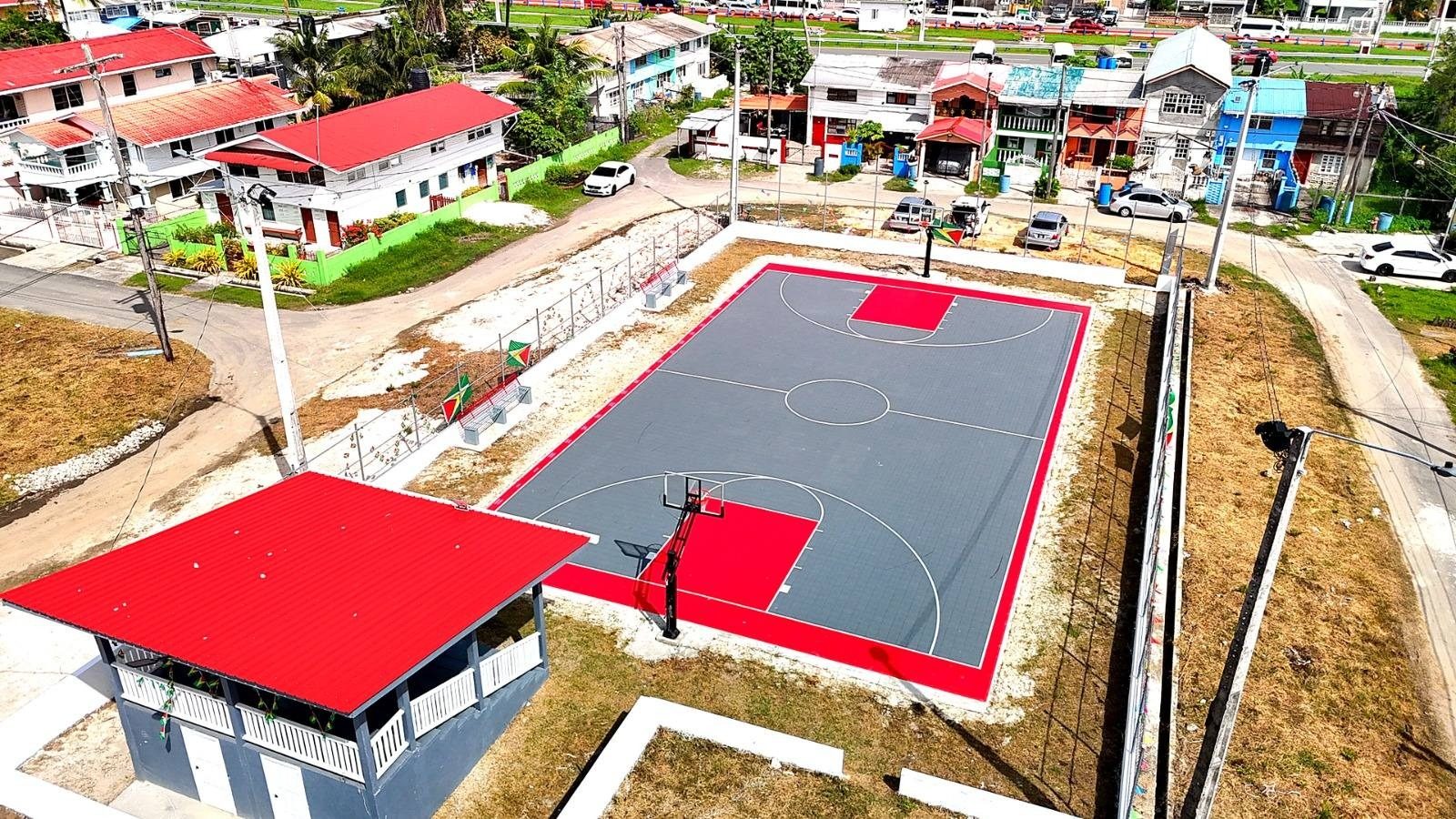
Kaieteur Sports – Basketball in Guyana received a major boost with the commissioning of a brand-new all-weather court in Campbellville, Georgetown, the first facility of its kind in the country...Features/Columnists
Feb 03, 2026
(Kaieteur News) – It is a rude question, almost an impertinent one, and that is why it unsettles. In Guyana, at this time of the year, it is drowned out by louder, more theatrical questions: Who is winning the Budget debate? Who is exposing whom? Who sounds convincing in the National Assembly?...Sir. Ronald Sanders
Feb 01, 2026
By Sir Ronald Sanders (Kaieteur News) – When the door to migration narrows, the long-standing mismatch between education and economic absorption is no longer abstract; a country’s true immigration policy becomes domestic — how many jobs it can create, and how quickly it can match people to...The GHK Lall Column
Feb 03, 2026
(Kaieteur News) – Stranger things have happened, that’s for sure. I just can’t recall when. But there he is, the We Invest In Nationhood leader, Mr. Azruddin Mohamed, operating in a new environment, and carving out his own path, actually laying down some pointers for the future. Does...Publisher’s Note
Freedom of speech is our core value at Kaieteur News. If the letter/e-mail you sent was not published, and you believe that its contents were not libellous, let us know, please contact us by phone or email.
Feel free to send us your comments and/or criticisms.
Contact: 624-6456; 225-8452; 225-8458; 225-8463; 225-8465; 225-8473 or 225-8491.
Or by Email: glennlall2000@gmail.com / kaieteurnews@yahoo.com


